Key Takeaways
- Google Maps serves 1+ billion monthly users across 220+ countries with features most people never discover
- Seven hidden tools exist: Incognito Mode, offline maps, Live View AR, Timeline history, area filters, eco-routing, and custom layers
- The app has evolved from a basic 2005 web map to an AI-powered navigation Swiss Army knife in 18 years
- Most users only access 20% of Google Maps' functionality and rely on basic turn-by-turn navigation
Google Maps is a free navigation and mapping app made by Google, covering 220+ countries and used by over a billion people monthly. It gives turn-by-turn directions, live traffic, public transit info, business reviews, and Street View imagery. But underneath the basic "get me from here to there" function sits a pile of features almost nobody uses.
What Google Maps actually is (and why it got this big)
Google Maps started life in 2005 as a web-based mapping service — basically a fancy atlas you could scroll. Street View landed in 2008, turning it into something closer to a window onto the actual planet. Offline maps arrived in 2011. Real-time traffic and transit got a serious upgrade around 2015. By 2017 there was an entire "Explore" tab for discovery, and by 2019 privacy-focused users got Incognito Mode. The AI-powered features from 2023 and 2024 are the latest layer on top of all that.
The result: a platform reportedly used by over a billion people monthly, covering more than 220 countries and territories, with Street View imagery stretching across more than 10 million miles of road. Real-time traffic data reportedly covers upwards of 150 million kilometres of road worldwide. Mobile accounts for roughly 80%+ of all that engagement, which tracks — nobody's plotting a road trip on a desktop anymore.
All that scale means feature bloat. Google keeps adding tools, most users keep ignoring the settings menu, and the gap between "what this app can do" and "what I use it for" keeps growing. Let's close it.
Feature 1: Incognito Mode — the "don't judge me" button
Added in 2019, Incognito Mode stops Google Maps from saving your search and location history to your account while it's switched on. Searching for that questionable karaoke bar or the discount tyre place your mate swears by? Turn it on, and it won't show up in your Timeline or influence your recommendations later.
To find it: tap your profile picture in the top right, then "Turn on Incognito mode." It's the same idea as Incognito browsing in Chrome — your activity still happens, Google just isn't filing it away under your name for future reference.
It's not full invisibility (your location can still be used for things like traffic data), but it's the closest thing to a privacy off-switch the app has. Worth using more than the "one time only" occasions most people save it for.
Feature 2: Offline maps — for when the signal ghosts you
Offline maps have been around since 2011, and they're still the most underused tool in the whole app. Download a region while you've got wifi, and Google Maps navigation keeps working even when your signal disappears into a mountain tunnel or a basement car park.
To download: search your area, tap the three dots, then "Download offline map." Adjust the boundary, hit download, and you've got turn-by-turn directions with zero bars. This is the feature that turns "I'm lost and my phone is useless" into "I'm lost but at least I know it."
Rule of thumb: if you're heading somewhere rural, remote, or just notoriously bad for reception, download the map the night before. Nine times out of ten, the moment you actually need offline maps is the moment you forgot to set them up.
Feature 3: Live View — AR directions that actually help
Immersive view and augmented reality features expanded significantly around 2021, and Live View is the practical payoff. Instead of squinting at a blue dot that may or may not be facing the right direction, you point your camera at the street and Google Maps overlays walking directions directly onto the real world — arrows floating above the pavement, street names labelled on actual buildings.
It's built for walking navigation in cities, where GPS alone struggles because you're surrounded by tall buildings bouncing the signal around. Tap the Live View icon in walking directions, hold your phone up, and follow the arrows. It looks a bit silly in public. It works considerably better than spinning in a circle trying to figure out which way is north.
Feature 4: Timeline — your own personal surveillance file
Timeline is Google Maps' record of everywhere your phone has been, assuming location history is switched on. Every coffee shop, every questionable 2am detour, every time you definitely weren't lost, you were just "taking the scenic route." It's all logged, timestamped, and mapped.
Find it under your profile icon, then "Your Timeline." It's genuinely useful for things like expense reports (proving you actually visited that client site), remembering where you parked three weeks ago, or settling arguments about whether you really did go to that restaurant last March.
It's also, understandably, the feature that makes people nervous — which is exactly why the privacy controls around it matter (more on that below).
Feature 5: Area search filters — stop scrolling, start filtering
Since the 2017 "Explore" tab update, Google Maps has let you search within a specific drawn area rather than just near your current pin. Search for something — "coffee," "vegan," "24-hour pharmacy" — and you'll often see a "search this area" button appear as you scroll the map.
Combine that with filters for rating, price, and hours, and you can skip the fifteen minutes of scrolling through reviews for places that are actually closed. It's a small tool, but it turns Google Maps from a map into an actual decision-making assistant.
Feature 6: Eco-friendly routing — save fuel, save face
Rolled out as part of the more recent AI-powered navigation updates, eco-friendly routing shows you the route with the lowest fuel consumption or emissions — not necessarily the fastest one. Sometimes it's the same route. Sometimes it trades four minutes for noticeably better mileage, which over a year of commuting adds up more than you'd think.
You'll see it as an option alongside your usual route choices, often marked with a little leaf icon. Worth checking before you dismiss it as greenwashing — for daily driving, it's one of the few features that quietly pays for itself.
Feature 7: Custom map layers — see the map you actually need
Tap the "Layers" icon (the stacked squares, usually top right) and you'll find options like Traffic, Transit, Biking, Satellite, Air Quality, and even Wildfire layers depending on your region. Most people never touch this menu, which is a shame, because it's the difference between a generic map and a map built for what you're actually doing.
Cyclist? Turn on the Biking layer for dedicated paths and elevation. Flying somewhere with wildfire smoke in the news? The Air Quality layer will tell you more than the group chat will. It's one tap, and it changes what the entire app is optimised to show you.
Location sharing: the feature that ends "where are you" texts
This one's an edge case competitors tend to gloss over, but Google Maps location sharing deserves its own paragraph because it quietly replaces an entire category of stressful text messages. Tap your profile icon, choose "Location sharing," and pick a contact and duration — one hour, until you turn it off, whatever suits.
It's the difference between "I'll be there in 10, promise" and just letting someone watch the little dot crawl through traffic. Parents use it for teenage drivers. Couples use it for "are you nearly home." Event organisers use it to stop group chats descending into chaos. It's not flashy, but it might be the single most socially useful feature in the whole app.
How Google Maps directions actually work
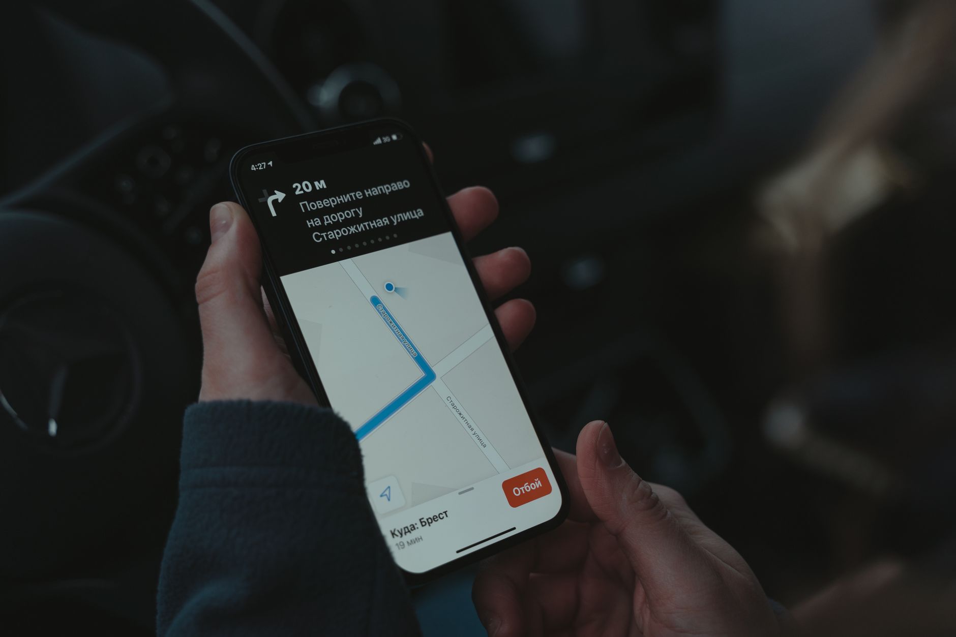
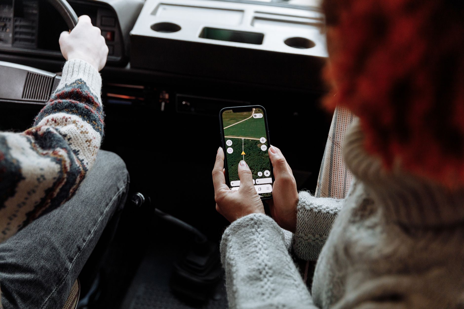
Worth covering the fundamentals, because the hidden features only matter once the basics are solid. Type your destination into the search bar, tap "Directions," and choose your mode — driving, walking, cycling, transit, or flight. Google Maps then calculates several route options, factoring in real-time traffic data that's been progressively refined since the major 2015 upgrade.
Tap any alternate route to preview it, and the app will automatically reroute if you miss a turn or traffic shifts. For transit directions, it pulls live departure times where available, which is either a small miracle or a mild inconvenience depending on how reliable your local bus network is.
My honest take: which of these actually matters
If I had to rank these seven, offline maps and location sharing win, no contest. They solve real, recurring problems — no signal, and "where the hell is everyone" — rather than being neat tricks you'll use twice and forget.
Live View, on the other hand, I reckon is overrated for anyone who isn't navigating an unfamiliar city on foot. It's genuinely clever tech, but for most day-to-day driving it solves a problem you don't actually have. Don't feel bad if you never touch it — the AR novelty wears off roughly the third time you have to hold your phone up in public like you're filming a very boring documentary.
The one I think is most underrated: eco-friendly routing. It's easy to dismiss as a PR feature, but if it saves even a few percent on fuel across thousands of daily commutes, that's a real number, not a marketing line. It's the rare "good for the planet" feature that doesn't ask you to sacrifice anything to use it — no extra taps, no slower route most of the time. Turn it on and forget about it.
Where I'd tell you to skip a feature entirely: Timeline, if you share a phone or device with anyone else, or if you're simply not comfortable with a company holding a timestamped log of your movements. It's useful, but it's also the one feature on this list with a genuine privacy cost attached. Check your settings under "Location History" and decide deliberately — don't just leave it on by default because that's how it arrived.
How do I use Google Maps for directions?
Type your destination in the search bar, tap "Directions," pick your travel mode (driving, walking, transit, cycling), and Google Maps will show route options with live traffic estimates. Tap "Start" for turn-by-turn navigation. It's genuinely one of the few tech things that's exactly as simple as it looks.
Is Google Maps free to use?
Yes, the consumer app is completely free, covering navigation, transit info, offline maps, and location sharing. Google makes money elsewhere — advertising, business listings, and the separate Google Maps API used by developers, which does carry usage-based costs.
How do I download Google Maps offline?
Search for the area you need, tap the three-dot menu, then "Download offline map." Adjust the selection box to cover your route, and hit download. Do this over wifi before you leave — offline maps have been around since 2011, but they only help if you remember to set them up in advance.
Google Maps vs Waze: which is better?
Both are owned by Google, so it's less a rivalry and more sibling rivalry. Waze leans on crowd-sourced, real-time reports (police, hazards, crashes) and is popular for daily commuting in congested cities. Google Maps navigation has broader coverage, better transit and walking directions, and richer business data. For most non-commute use, Google Maps wins on versatility.
How much does Google Maps API cost?
Pricing for developers is usage-based, with a monthly free credit before charges kick in, and costs varying by which API (Directions, Places, Static Maps, etc.) you're calling. It's a separate product from the consumer app, which remains free, so most everyday users will never see a bill.
How do I drop a pin on Google Maps?
Press and hold anywhere on the map, and a red pin will drop at that spot, letting you save it, share it, or get directions to it. Handy for marking a parking spot, a picnic location, or literally anywhere that doesn't have a proper address — which, let's be honest, describes most good camping spots.
How do I use Google Maps timeline and location history?
Tap your profile icon and select "Your Timeline" to see a chronological map of places you've visited, based on your device's location history. You can review, edit, or delete entries, and turn location history off entirely under "Location settings" if the whole idea makes you want to lie down.
Does Google Maps track my location all the time?
Only if location history and location sharing are switched on in your settings — and even then, Incognito Mode (added 2019) pauses that tracking temporarily. Google Maps needs some location access to function at all, but how much gets saved long-term is entirely adjustable in your account settings.
What's the difference between Google Maps location sharing and Timeline?
Location sharing sends your live location to specific people you choose, for a set time. Timeline is a private log, visible only to you (by default), of where your device has been over time. One's a text message replacement, the other's a diary nobody asked you to keep.
Seven features, one app, zero excuses left. Google Maps has been quietly building itself into something closer to a personal assistant than a paper map with delusions of grandeur, and most of us have been using maybe a third of it. Go find that Layers icon. Download an offline map before your next road trip. And for the love of all things cartographic, turn on location sharing before the next "where ARE you" text ruins someone's evening.