
Key Takeaways
- The Indus Waters Treaty (1960) divides six rivers between India and Pakistan—India controls the eastern three (Sutlej, Beas, Ravi), Pakistan controls the western three (Indus, Chenab, Jhelum)
- It's survived three wars, nuclear standoffs, and 64+ years of geopolitical tension—making it one of history's most durable transboundary water agreements
- The World Bank mediated the original deal and continues to play a neutral enforcement role when disputes arise
- Climate change and water scarcity are now putting unprecedented stress on the treaty, threatening its ability to hold under modern conditions
- Disputes over dams and water-sharing mechanisms remain a constant source of legal and diplomatic tension between the two nations
The Indus Waters Treaty, signed on September 19, 1960, is an international water-sharing agreement between India and Pakistan, brokered by the World Bank. It divides six Indus River tributaries between the two nations: India controls the eastern rivers (Sutlej, Beas, Ravi), while Pakistan manages the western rivers (Indus, Chenab, Jhelum). Despite three wars and countless crises, it has held for 64+ years.
The Treaty That Outlasted Three Wars
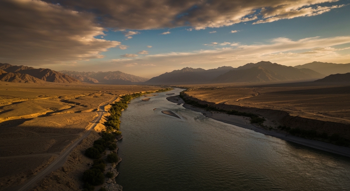
Most international agreements don't survive a single serious argument. The Indus Waters Treaty has survived three wars, a nuclear standoff, and enough diplomatic frostbite to freeze the Himalayas twice over. Signed on September 19, 1960, between India and Pakistan — with the World Bank acting as mediator — it remains one of the most durable transboundary water agreements in history. And right now, with climate stress rising and political tensions peaking, it matters more than it ever has.
What the Indus Waters Treaty Actually Does
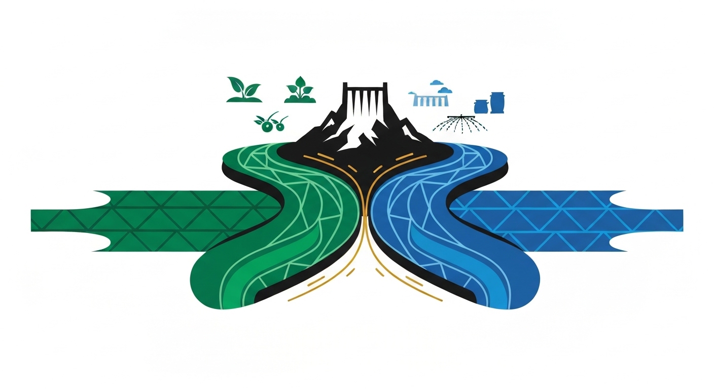
Strip away the diplomatic language and the treaty does one thing: it tells two countries which rivers they own. India gets the three eastern rivers — the Sutlej, Beas, and Ravi. Pakistan gets the three western rivers — the Indus, Chenab, and Jhelum. India can use the western rivers for limited purposes like navigation, fishing, and some non-consumptive uses, but the bulk of those flows belong to Pakistan.

It also sets up a Permanent Indus Commission — one commissioner from each country — that meets at least once a year. Think of it as the world's most important annual coffee meeting, except the agenda items can start wars if ignored.
The treaty doesn't divide water volumes. It divides rivers. That distinction sounds minor until you realise it means the allocation doesn't automatically adjust for drought, population growth, or climate shifts. A problem we'll come back to.
The Six Rivers and Who Gets What
The Indus River system is enormous. The Indus itself travels approximately 1,165 kilometres through Indian territory before crossing into Pakistan. The broader basin covers parts of India, Pakistan, China, and Afghanistan — but the treaty concerns only India and Pakistan's share.
Here's the split, plainly:
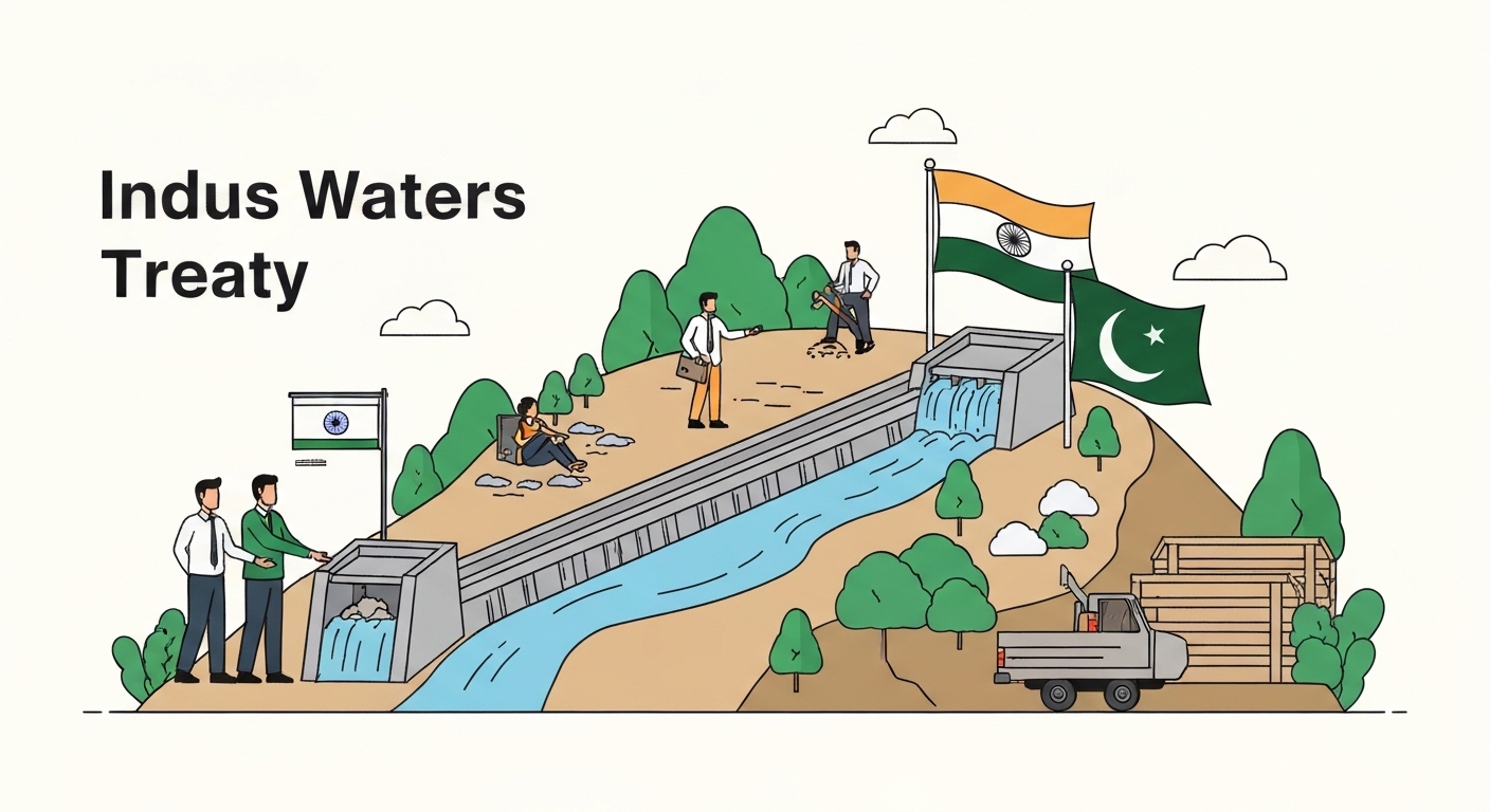
- India's eastern rivers: Sutlej, Beas, Ravi — India has unrestricted use
- Pakistan's western rivers: Indus, Chenab, Jhelum — Pakistan has primary rights; India can build limited infrastructure but cannot meaningfully divert flow
Pakistan depends on the western rivers for roughly 80% of its irrigated agriculture, according to reports. That's not a statistic to read and forget. That's the food security of a nation of over 230 million people flowing downstream from Indian-controlled territory. You can see why Pakistan watches every dam announcement from New Delhi like a hawk watching a particularly suspicious field mouse.
Nine Years to Shake Hands
Negotiations started in 1951. The treaty wasn't signed until 1960. Nine years of talks, which makes your last difficult group project look positively efficient by comparison.
The World Bank's involvement was crucial. Without a neutral broker, there was simply no trust. India had just fought a partition war. Pakistan was newly formed and deeply suspicious of its upstream neighbour controlling rivers it depended on entirely. The Bank didn't just mediate — it helped design the engineering solution, including a transition period during which India would continue supplying water to Pakistan's canal systems while new infrastructure was built.
The Tarbela Dam in Pakistan, one of the largest earth-filled dams in the world, was among the infrastructure built during this transition period. It was funded partly through a World Bank-backed Indus Basin Development Fund. The treaty wasn't just a legal document — it came with a construction budget.
How It Survived Three Wars and Counting
India and Pakistan fought wars in 1965, 1971, and 1999 (the Kargil conflict). Each time, analysts predicted the treaty would collapse. Each time, it didn't. Even during the Kargil conflict in 1999, the Permanent Indus Commission reportedly continued functioning at some level.
Why did it hold? Partly because both sides had too much to lose. India's eastern rivers feed its Punjab — the breadbasket of the nation. Pakistan's western rivers feed almost everything else it grows. Tearing up the treaty wouldn't just be a diplomatic gesture. It would be economic self-harm for both countries, dressed up as political bravado.
There's also a principle in international water law that's relevant here: downstream nations have legal standing to challenge upstream neighbours. If India unilaterally diverted Pakistan's western rivers, it wouldn't just be a bilateral problem. It would be an international legal emergency — with the World Bank, the UN, and every neighbouring country paying close attention. (The fact that both nations have nuclear weapons makes everyone pay even closer attention.)
The Dam Disputes That Keep Lawyers Very Busy
The treaty has a dispute resolution mechanism — three tiers of it. First, the Permanent Indus Commission tries to resolve issues directly. If that fails, a Neutral Expert is appointed. If that fails, a Court of Arbitration steps in.
In 2016, Pakistan formally complained to the World Bank about India's Kishenganga and Ratle hydroelectric projects on the western rivers. Pakistan argued they violated treaty provisions on dam design. India countered that the projects fell within allowed limits. The World Bank initiated technical discussions from 2018 onwards, though the process has been complicated by both sides disagreeing on which dispute resolution track should apply.
This matters because it reveals a real tension in the treaty: it was designed in 1960, for the engineering realities of 1960. Run-of-river hydroelectric projects — which India is building extensively — weren't fully anticipated. The treaty has provisions for them, but the specifics are contested. Every new dam in the western river basin is a potential flashpoint.
Climate Change Is the Uninvited Third Party
Here's the edge that most explainers miss. The treaty divides rivers, not water volumes. In 1960, that was a reasonable proxy — rivers ran fairly predictably. In 2024, it's a problem.
Glacial melt in the Himalayas is accelerating. The Indus basin depends heavily on glacial runoff. In the short term, melt may actually increase flows — false abundance before the real shortage hits. In the long term, as glaciers retreat, the rivers that feed both nations will carry significantly less water, particularly in summer months when agricultural demand peaks.
Drought conditions in 2022 prompted serious discussions about whether the treaty is structurally adequate for a climate-stressed future. The answer, broadly, is no — not without amendments. But amending a treaty between two nuclear-armed nations with a six-decade history of mutual suspicion is, to put it gently, not a straightforward process.
Neither country can afford a water war. But neither can afford to negotiate from weakness. That's the box they're both sitting in.
Can India Actually Suspend the Indus Waters Treaty?
After the Pulwama attack in February 2019, Indian officials raised the possibility of treaty review. After the 2025 Pahalgam attack, suspension was discussed again in Indian political circles. So — can India do it?
Legally, the treaty has no unilateral exit clause. It doesn't include a standard "either party may terminate with X months' notice" provision common in other international agreements. India would need to invoke a fundamental change of circumstances under international law — a high legal bar — or negotiate a mutual exit, which Pakistan would never agree to.
Practically, diverting western river flows would require enormous new infrastructure that doesn't exist. India's own storage capacity couldn't absorb the water. And the international blowback — including from the World Bank, which co-signed the agreement — would be severe.
Suspension as a political signal? Possible. Suspension as a functional water policy? A much harder argument to make.
The Honest Take: Is the Treaty Fair to India?
This is the opinion section, so here it is directly: the treaty is structurally tilted toward Pakistan, and that was intentional — but it's not the injustice it's often portrayed as.
India gave up rights to the three western rivers, which carry approximately 80% of the total Indus system flow, according to reports. Pakistan, as the downstream nation with no alternative sources, received the larger share. India, as the upstream nation with the eastern rivers and Himalayan snowmelt feeding its own agricultural heartland, accepted the trade.
The compensation? India got the eastern rivers entirely. The Beas, Ravi, and Sutlej now serve India's Punjab with no obligation to Pakistan. In 1960, that was considered a fair exchange.
What's genuinely unfair is that the treaty doesn't account for climate-driven changes in flow, India's growing domestic water needs, or the fact that Pakistan hasn't always used its allocated rivers efficiently. The 1960 framework needs a 2024 update — not scrapping, updating. Those are different conversations, and conflating them produces bad policy from both sides.
My actual recommendation: push for a renegotiated climate annex, not treaty abandonment. Walking away helps neither country's farmers.
What is the Indus Waters Treaty?
The Indus Waters Treaty is an international water-sharing agreement signed on September 19, 1960, between India and Pakistan, brokered by the World Bank. It allocates the six rivers of the Indus system between the two nations — India controls the eastern rivers (Sutlej, Beas, Ravi) and Pakistan controls the western rivers (Indus, Chenab, Jhelum). It remains one of the longest-standing transboundary water agreements in the world.
Which rivers are covered under the Indus Waters Treaty?
Six rivers are covered: the Sutlej, Beas, and Ravi (allocated to India) and the Indus, Chenab, and Jhelum (allocated to Pakistan). India retains limited rights on the western rivers for navigation, fishing, and some non-consumptive uses, but cannot meaningfully divert their flow. Pakistan's agriculture depends on the western rivers for approximately 80% of its irrigated farmland.
How was the Indus Waters Treaty signed in 1960?
The treaty was the result of nine years of negotiations facilitated by the World Bank beginning in 1951. The Bank acted as neutral mediator between India and Pakistan — two nations with deep mutual suspicion following partition. It was signed on September 19, 1960, in Karachi, by Indian Prime Minister Jawaharlal Nehru and Pakistani President Ayub Khan. The World Bank also helped establish a development fund to finance replacement infrastructure for Pakistan.
What is the difference between eastern and western rivers in the treaty?
The eastern rivers — Sutlej, Beas, and Ravi — are allocated entirely to India for unrestricted use. The western rivers — Indus, Chenab, and Jhelum — are allocated to Pakistan, though India can use them for limited purposes like run-of-river hydroelectric generation and non-consumptive activities. The distinction is critical because the western rivers carry the larger share of total Indus system flow.
How long did it take to negotiate the Indus Waters Treaty?
Nine years. Talks began in 1951 and the treaty was finally signed in 1960. By comparison, most modern trade agreements seem rushed. The delay reflects how difficult it is to negotiate water rights between nations that share a partition history and a profound mutual distrust. The World Bank's sustained involvement over the entire period was arguably the only reason it succeeded at all.
Why is the Indus Waters Treaty important for beginners to understand?
Because it demonstrates that even hostile nations can build durable agreements on shared resources — when the cost of failure is high enough. It's also a live case study in international water law, climate adaptation policy, and geopolitical risk. With climate change threatening Himalayan glaciers that feed the entire Indus system, the treaty's framework is being tested in ways its 1960 architects never anticipated. What happens next affects food security for hundreds of millions of people.
Can India unilaterally suspend or revoke the Indus Waters Treaty?
Not easily, and not legally without significant international consequences. The treaty contains no unilateral exit clause. India would need to invoke a fundamental change of circumstances under international law — a high bar — or reach mutual agreement with Pakistan, which is unlikely. Physically diverting western river flows would also require infrastructure India doesn't currently have. Suspension as political rhetoric is one thing. Suspension as functional policy is a different matter entirely.
Is the Indus Waters Treaty unfair to India?
India gave up rights to the western rivers, which carry roughly 80% of total Indus system flow. That does sound like a bad deal — until you reckon that India got the eastern rivers entirely, received World Bank-backed compensation infrastructure, and secured a legally binding guarantee against downstream conflict. The treaty was designed to reflect geography: India is upstream, Pakistan is downstream. That asymmetry was baked in, not imposed on India. The real gap isn't fairness — it's that the 1960 framework needs climate-era updates neither side has managed to negotiate yet.
The Bottom Line
The Indus Waters Treaty is 64 years old, legally watertight in some places and leaking badly in others, held together by mutual self-interest more than goodwill, and right now under more pressure than at any point in its history. It has survived three wars, a nuclear standoff, and enough political theatre to fill several Netflix series. What it hasn't survived yet — but is being seriously tested by — is climate change and a geopolitical temperature that makes the 1990s look positively balmy.
The rivers don't care who signed what in 1960. They're going to keep flowing, or stop flowing, entirely on their own schedule. The question is whether two nuclear-armed neighbours can update a 64-year-old document before the glaciers make the decision for them. No pressure. (A lot of pressure. Approximately the weight of the Himalayas.)